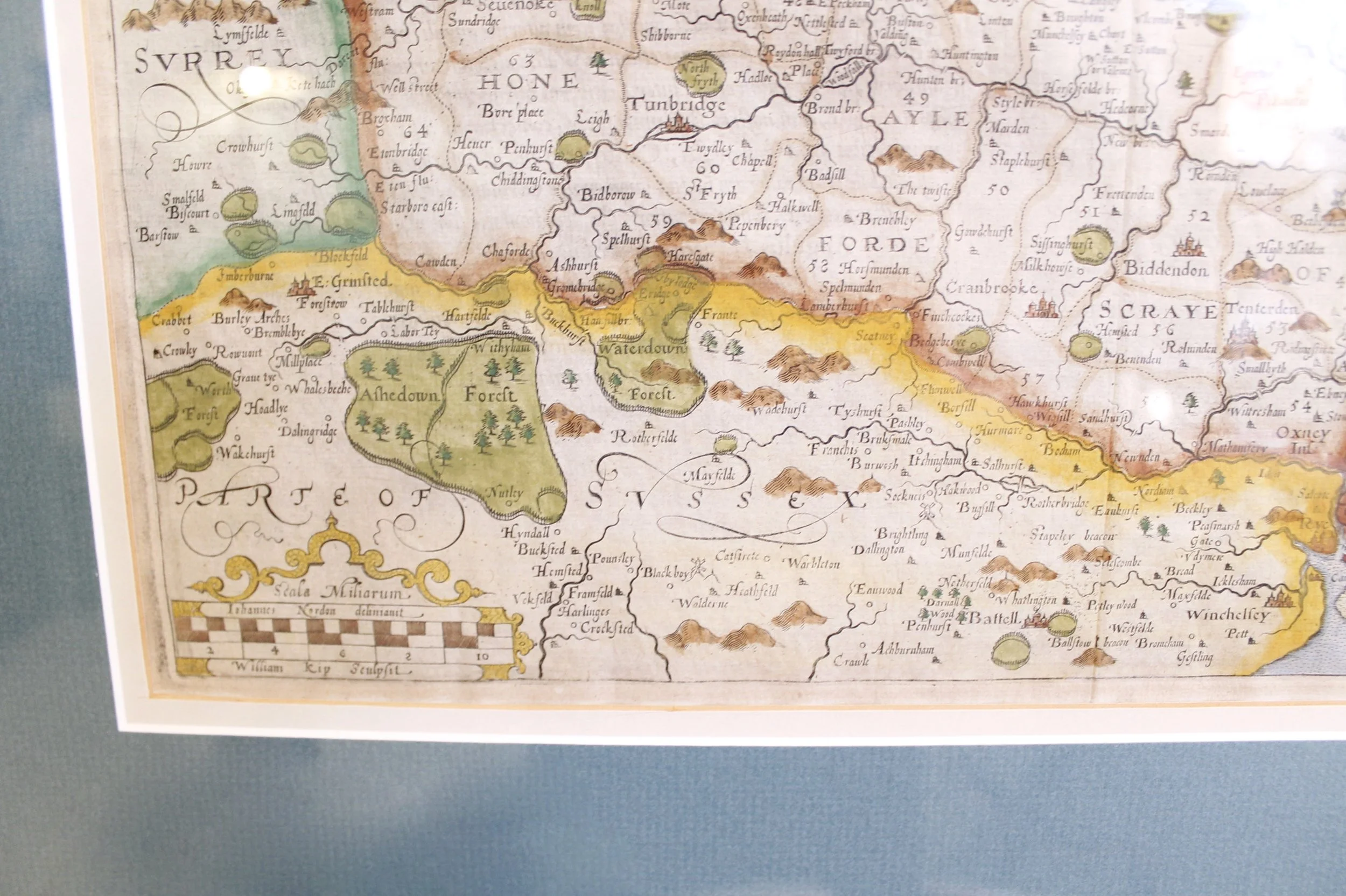
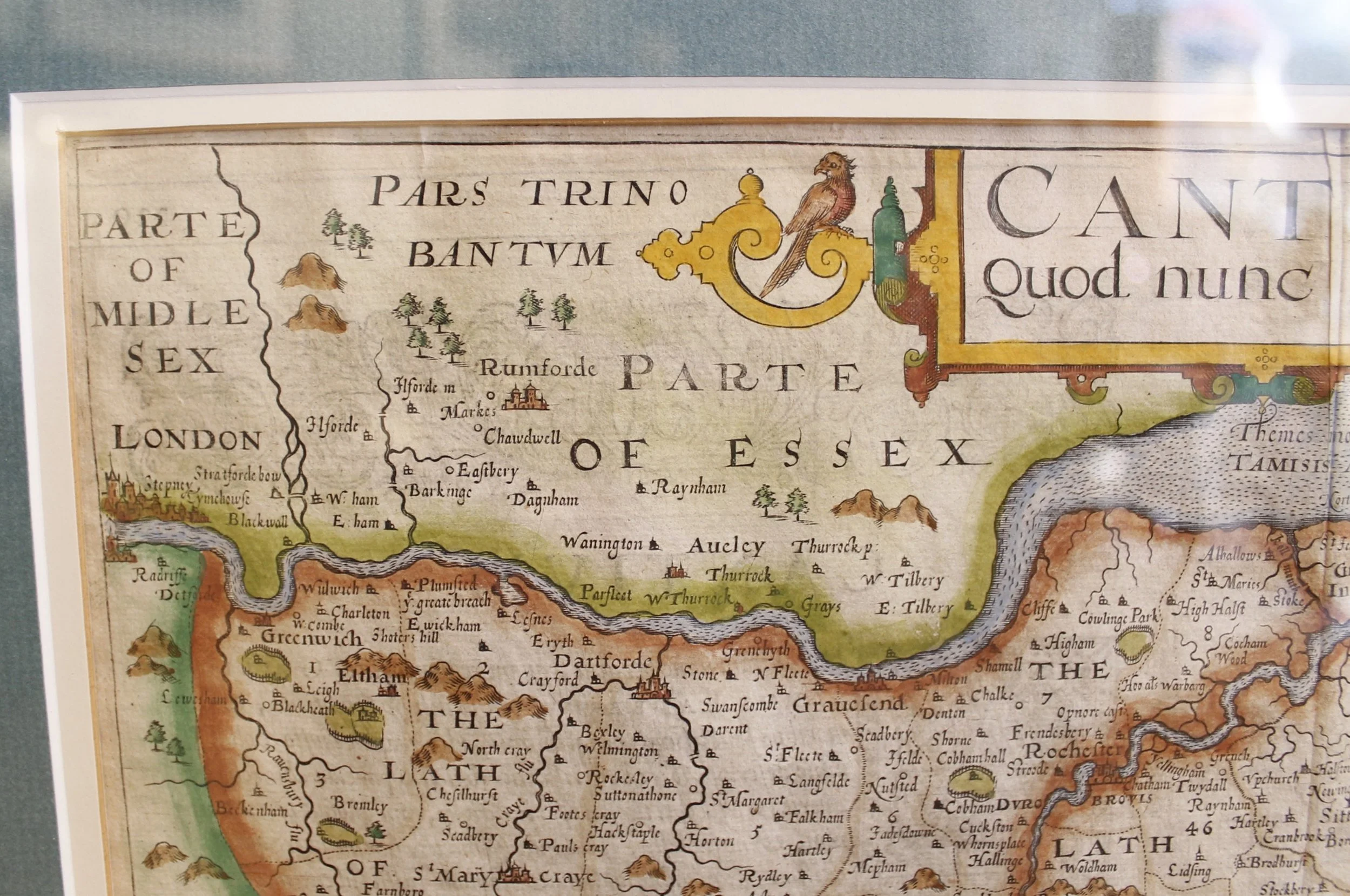
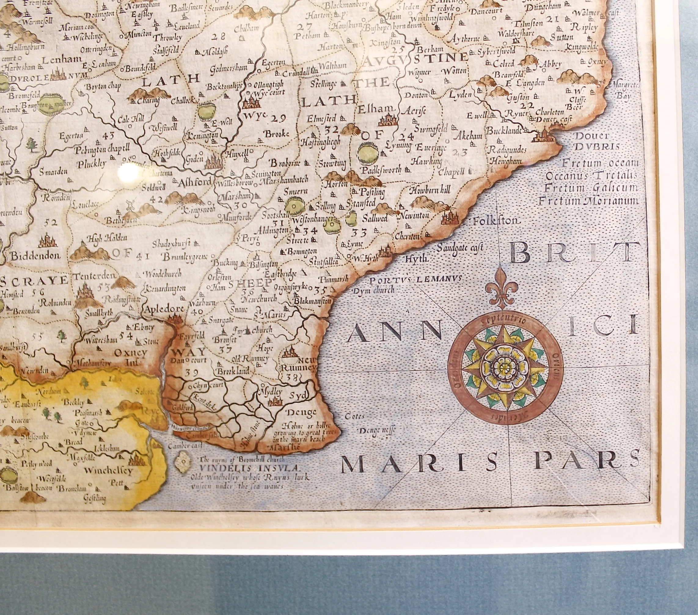
17th Century Map of Kent (England) by William Kip and Johannes Nordon


17th Century Map of Kent (England) by William Kip and Johannes Nordon
$695.00
A fine 17th century map showing the county of Kent, which abuts London, along with portions of Essex, Middlesex, Surrey and Sussex, all nicely hand colored. Well known towns such as Greenwich, Blackheath, and Bromley are found in the upper left hand zone just below the Thames River. William Kip, engraver, immigrated to England probably from Holland in 1585. Johannes (John) Nordon (1548-1625) was a cartographer. Their work, including this map, was published in the 1637 edition of William Camden’s “Britannia,” the first county by county collection of maps of Great Britain.
H: 18 ¼ W: 21 ¼ D: 1
