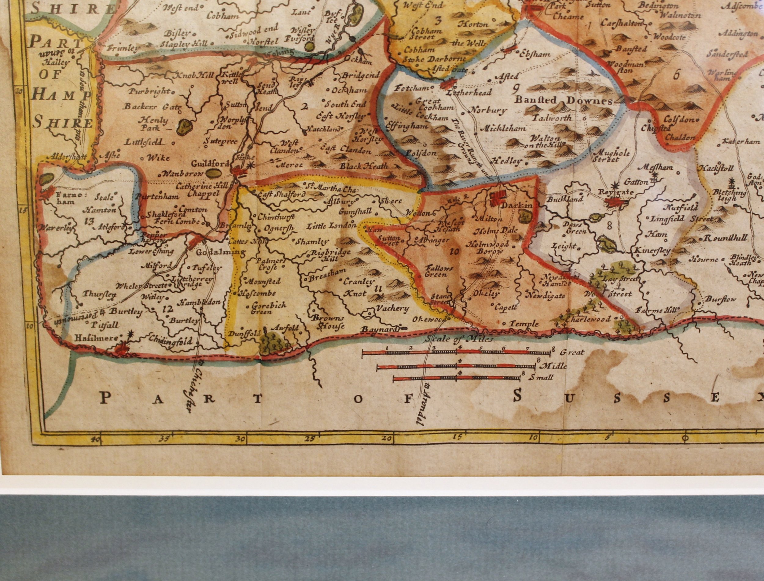
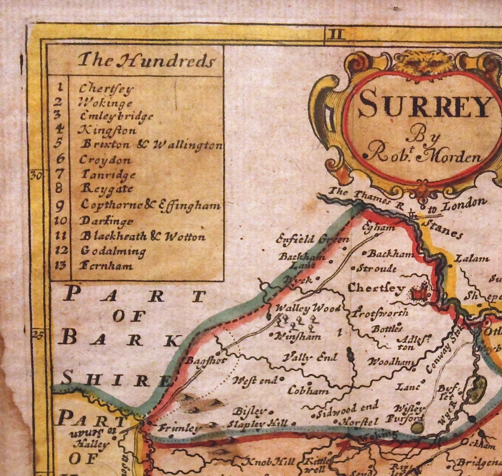
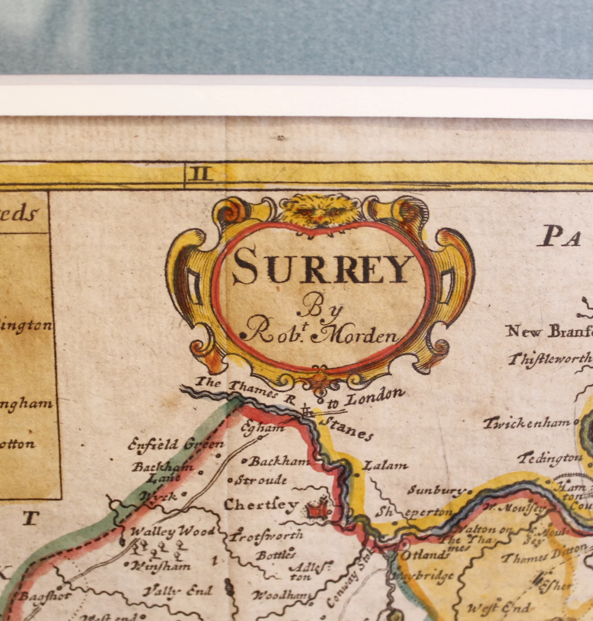
17th Century Map of South London and the County of Surrey, by Robert Morden


17th Century Map of South London and the County of Surrey, by Robert Morden
$0.00
A hand colored map depicting the Thames River and in the upper right hand corner: London, along with numerous familiar sites of what were, at the time of its printing, still independent villages of Kensington, and Chelsea and so forth, along with Wimbledon, Richmond, etc. and extending to the edges of Kent, Sussex, Hampshire, Berkshire and Middlesex. A numbered legend helps identify various well known towns. Robert Morden (1650- 1703) was a successful English cartographer and bookseller whose work was found in later editions of William Camden’s “Britannia,” the first county by county collection of maps of Great Britain.
H: 13 ¼ W: 14 ⅝ D: 1
sold out
