
17th Century Map of Montgomery County (Montgomeryshire, Wales)


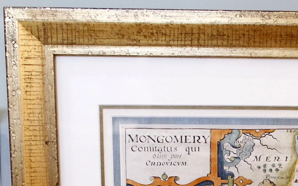


17th Century Map of Montgomery County (Montgomeryshire, Wales)
$0.00
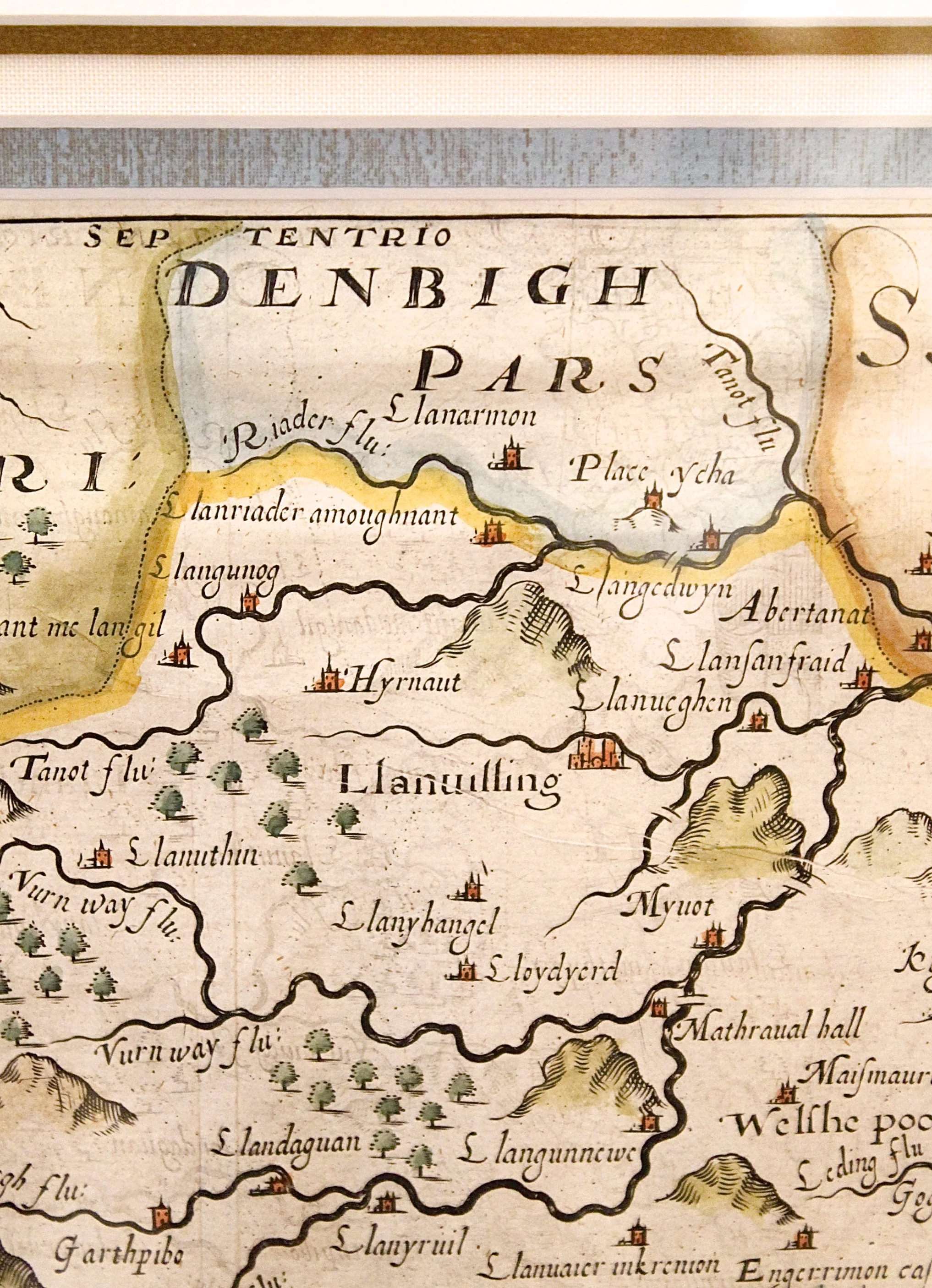
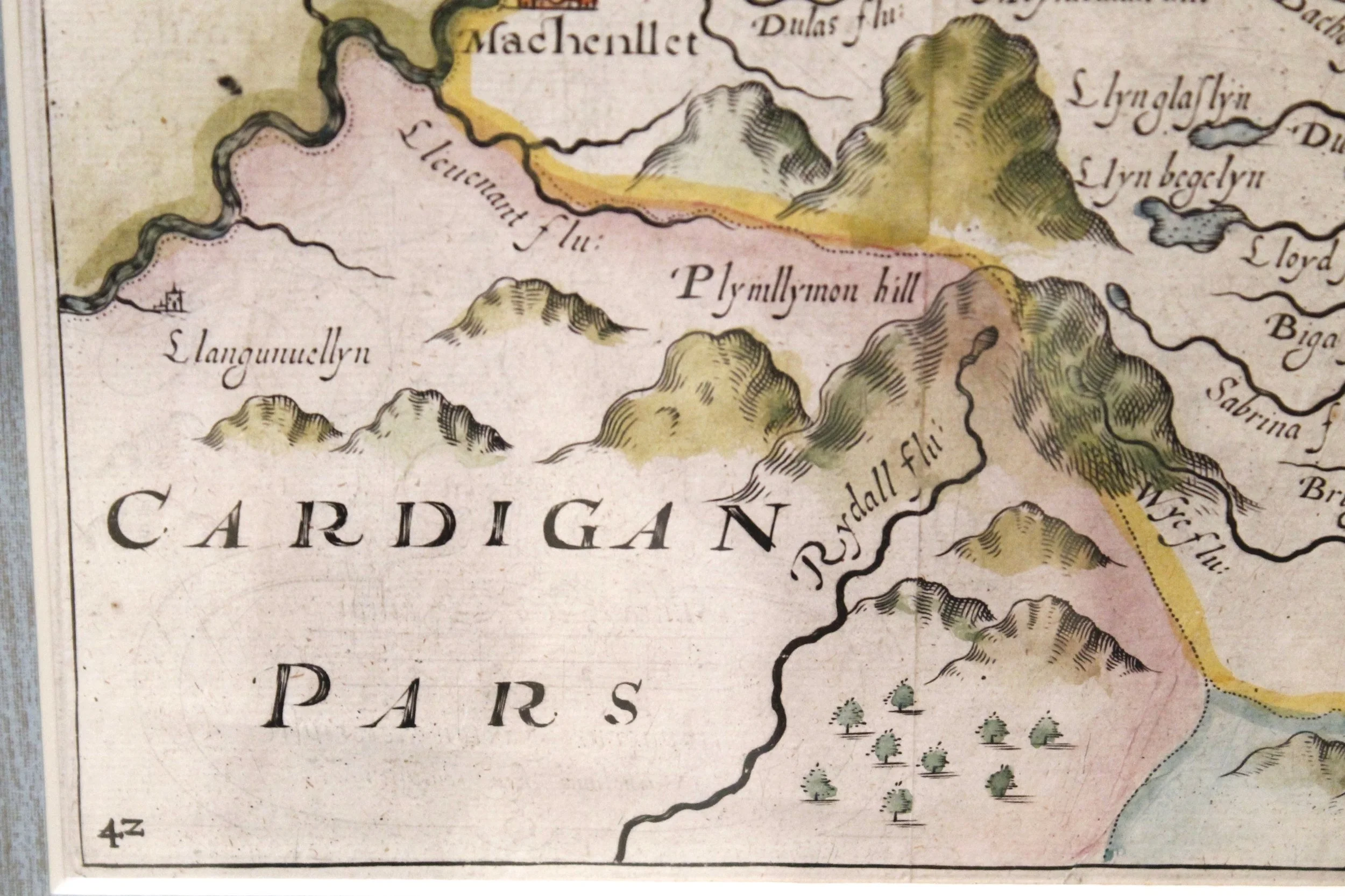
An original map dating from 1637 by William Kip and Christopher Saxton, with very attractive later hand coloring. Shows the principal towns, then as now: Powys, Newtown, Welshpool and Llanidioes (denoted with larger castle symbols).
H: 18 ½ W: 22 ¼ D: 1 ¼
sold out